In brief
At a glance
Quick Facts
- Global mean sea-level rise rate (20th century)
- Approximately 1.7 mm per year, accelerating in recent decades.
- Primary causes of global rise
- Thermal expansion of ocean water and melting of land ice (glaciers and ice sheets).
- Gravitational effect near melting ice
- Sea level can fall within about 2,000 km of a melting ice sheet due to reduced gravitational pull.
- Land subsidence in major cities
- Jakarta, Bangkok, and New Orleans are sinking at rates of 1–10 cm per year, amplifying relative sea-level rise.
- Post-glacial rebound
- Parts of Scandinavia and Canada are rising at up to 1 cm per year, causing relative sea-level fall.
- Ocean dynamic effect
- A slowdown of the Gulf Stream can raise sea level along the U.S. East Coast by tens of centimeters.
- Satellite altimetry era
- Since 1993, satellites have mapped sea-level change globally, revealing regional patterns of up to ±30 cm difference from the global mean.
Key Takeaways
- Global mean sea-level rise is an average; actual sea-level change varies dramatically from one coastline to another due to local and regional factors.
- The main drivers of regional differences are gravitational effects from melting ice sheets, changes in ocean currents and winds, and vertical land motion such as subsidence or uplift.
- When ice sheets lose mass, sea level actually falls nearby due to reduced gravitational pull, while it rises more than the global average in distant regions.
- Land subsidence from groundwater extraction, sediment compaction, and tectonic activity can cause relative sea-level rise to be several times higher than the global average in some coastal cities.
- Understanding regional sea-level rise is essential for accurate coastal planning, infrastructure design, and climate adaptation strategies.
What Is Why Sea-Level Rise Differs Between Locations?
Sea-level rise is often discussed as a single global number—the average increase in ocean height measured across the world’s seas. However, this global mean sea-level rise does not reflect the reality at any specific coastline. In some places, the sea is rising two to three times faster than the global average, while in others it is rising more slowly or even falling relative to the land. The question “Why does sea-level rise differ between locations?” addresses the complex interplay of geophysical, oceanographic, and climatic processes that cause these regional variations. It is not that the total volume of the ocean is increasing unevenly, but rather that the ocean surface is not flat and its shape changes over time, and the land itself is moving vertically.
Understanding these differences is essential because the impacts of sea-level rise—coastal flooding, erosion, saltwater intrusion—are felt locally. A global average of, say, 3 millimeters per year provides a useful benchmark for the overall trend, but it masks the fact that some regions experience rates of 10 millimeters per year or more, while others see little change or even a relative drop. This article explores the physical mechanisms behind these regional patterns, the evidence from observations, and why this knowledge matters for communities, governments, and ecosystems.
How It Works
Sea level at any given location is determined by the height of the ocean surface relative to the land. This is known as relative sea level. Changes in relative sea level come from two broad categories: changes in the volume or mass of the ocean (eustatic changes) and changes in the height of the land (isostatic or tectonic changes). The global mean sea level rises primarily because of thermal expansion of warming ocean water and the addition of water from melting land ice. However, these inputs do not distribute evenly across the globe. Instead, they interact with the Earth’s gravity field, rotation, and ocean circulation to produce a complex pattern of regional sea-level change.
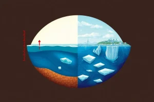
When a large ice sheet melts, it loses mass, and its gravitational pull on the surrounding ocean weakens. This causes sea level to drop in the immediate vicinity of the melting ice and to rise more than the global average in far-field regions. Additionally, the weight of the ice sheet depresses the Earth’s crust; as the ice melts, the land rebounds upward, further lowering relative sea level nearby. Ocean dynamics, such as shifts in major currents and wind patterns, also redistribute water, piling it up in some areas and lowering it in others. These processes operate on different timescales, from years to millennia, creating a constantly evolving map of sea-level change.
Main Causes or Drivers
Several key mechanisms drive the regional differences in sea-level rise. They often act simultaneously, making it challenging to predict local changes without sophisticated models.
- Gravitational and Rotational Effects: Massive ice sheets exert a gravitational pull on the surrounding ocean, drawing water toward them. As ice sheets melt, this pull weakens, and water migrates away. Paradoxically, sea level near a melting ice sheet can fall, while regions far away experience a greater-than-average rise. The redistribution of mass also alters Earth’s rotation, further modifying the shape of the ocean surface.
- Thermal Expansion Patterns: Ocean warming is not uniform. Some ocean basins absorb more heat than others, leading to greater thermal expansion and higher sea-level rise in those regions. For example, the western Pacific has experienced rapid warming and sea-level rise, partly due to strengthened trade winds piling up warm water.
- Ocean Circulation and Wind-Driven Changes: Persistent winds and ocean currents can tilt the sea surface over hundreds of kilometers. Changes in the strength or position of major currents, such as the Gulf Stream, can cause sea level to rise or fall along adjacent coastlines by tens of centimeters over decades.
- Vertical Land Motion: The land itself can rise or sink due to natural processes like glacial isostatic adjustment (the slow rebound of the Earth’s crust after the last ice age), tectonic activity, sediment compaction, or human activities such as groundwater extraction and urbanization. In many delta cities, land subsidence is the dominant cause of relative sea-level rise.
Regional Differences
The combination of these drivers creates a patchwork of sea-level change across the globe. Some regions are experiencing sea-level rise at rates significantly above the global average, while others are seeing a slower rise or even a relative fall.
- Western Pacific and Indian Ocean: Many island nations and coastal areas in the western tropical Pacific, such as the Philippines and parts of Indonesia, have recorded sea-level rise rates of 10–15 millimeters per year—several times the global average. This is driven by strong trade winds piling up warm water, combined with land subsidence in some areas.
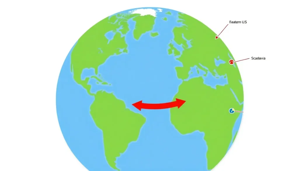
- Eastern United States: The U.S. Atlantic coast, particularly from North Carolina to Florida, has experienced accelerated sea-level rise due to a slowing Gulf Stream and land subsidence. The Chesapeake Bay region, for instance, sees high rates because the land is sinking as a result of glacial isostatic adjustment and groundwater withdrawal.
- Scandinavia and Hudson Bay: In contrast, parts of Scandinavia and Canada are still rebounding from the weight of ice sheets that melted thousands of years ago. This post-glacial rebound causes relative sea level to fall, even as the global ocean rises. The land is rising faster than the sea, so the coastline appears to be emerging.
- Antarctica and Greenland Coasts: Near the melting ice sheets themselves, sea-level rise is muted or negative due to the loss of gravitational attraction. However, this effect is temporary on geological timescales; as the ice mass diminishes, the far-field sea-level rise eventually dominates.
What the Evidence Shows
Satellite altimetry since the early 1990s has provided a precise, global map of sea-level change, revealing the regional patterns predicted by models. Tide gauge records, some dating back to the 19th century, confirm that these differences have persisted and evolved over time. The evidence shows that the spatial pattern of sea-level rise is not random but closely linked to known physical processes.
For example, satellite data clearly show a belt of rapid sea-level rise in the western tropical Pacific and a slower rise or even fall in the eastern Pacific, consistent with the intensification of trade winds. Gravity measurements from the GRACE satellite mission have directly observed the mass loss from Greenland and Antarctica and the corresponding changes in Earth’s gravity field, confirming that sea level falls near the ice sheets and rises more elsewhere. Tide gauges in Stockholm, Sweden, show a long-term relative sea-level fall of about 3.8 millimeters per year due to post-glacial rebound, while gauges in Galveston, Texas, show a rise of over 6 millimeters per year, largely from land subsidence. These observations validate the understanding that regional sea-level change is a combination of global rise and local vertical land motion.
Importance and Impact
Recognizing that sea-level rise differs between locations is not merely an academic exercise; it has profound practical implications. Coastal communities, infrastructure planners, and policymakers rely on local sea-level projections to assess risk and design adaptation measures. Using a global average would lead to under-preparation in high-risk areas and potentially over-investment in low-risk areas.
In regions where relative sea-level rise is amplified, the frequency of nuisance flooding, storm surge damage, and saltwater intrusion into freshwater supplies increases dramatically. Low-lying island nations face existential threats, while major coastal cities like Jakarta, Bangkok, and New Orleans experience compounded flooding due to land subsidence. Ecosystems such as mangroves and salt marshes can be drowned if sea-level rise outpaces their ability to accrete sediment. Conversely, in areas where land is rising, the risk may be lower, but changes in sediment supply and coastal dynamics still require attention. Accurate regional projections enable targeted investments in sea walls, flood defenses, and managed retreat, making the difference between resilience and catastrophe.
Common Misconceptions
Misconception: Sea-level rise is the same everywhere. Many people assume that because the ocean is connected, water levels should rise uniformly like water in a bathtub. In reality, the ocean surface is not flat; it has hills and valleys caused by gravity, currents, and winds, and these change over time.
Misconception: Melting ice always causes sea level to rise nearby. Near a melting ice sheet, sea level can actually fall due to the reduced gravitational pull. This counterintuitive effect means that Greenland’s melting contributes less to sea-level rise in northern Europe than in the Southern Hemisphere.
Misconception: Land subsidence is a minor factor. In many coastal cities, land subsidence from groundwater extraction and sediment compaction is the primary reason for relative sea-level rise, often exceeding the global average by a factor of two or three. Ignoring land motion leads to underestimating local risk.
FAQ
Why doesn't sea level rise uniformly across the globe?
Sea level is not flat; it varies due to gravitational effects from ice sheets, ocean currents, wind patterns, and vertical land motion. These factors cause regional differences, so some places experience faster or slower relative sea-level rise than the global average.
How does melting ice affect sea level differently in different places?
Melting ice sheets reduce their gravitational pull on nearby ocean water, causing sea level to fall near the ice sheet and rise more than average in distant regions. This is known as gravitational fingerprinting.
What role does land subsidence play in local sea-level rise?
Land subsidence, or sinking, can significantly amplify relative sea-level rise. In many coastal cities, groundwater extraction, sediment compaction, and tectonic activity cause the land to sink, making the sea rise faster relative to the land.
Are there places where sea level is falling?
Yes, in regions experiencing post-glacial rebound, such as parts of Scandinavia and Canada, the land is rising faster than the sea, resulting in a relative fall in sea level. Near melting ice sheets, gravitational effects can also cause a temporary fall.
References
- IPCC Sixth Assessment Report, Working Group I: The Physical Science Basis, Chapter 9: Ocean, Cryosphere and Sea Level Change.
- Church, J. A., et al. (2013). Sea Level Change. In: Climate Change 2013: The Physical Science Basis. Cambridge University Press.
- NASA Sea Level Change Portal: Understanding Sea Level – Regional Patterns.
- NOAA Tides and Currents: Sea Level Trends – Global and Regional.