In brief
At a glance
Quick Facts
- Current figure
- Dynamical downscaling: 1–3 km; Statistical: point-scale
- Measurement date
- 2024
- Previous figure
- 2010s: 12–50 km dynamical
- Change
- Resolution improved by factor of 10–50
- Data source
- IPCC AR6, CORDEX
- Next update
- CORDEX convection-permitting simulations (ongoing), IPCC AR7 (~2027)
Current figure
As of 2024, the highest-resolution dynamical downscaling simulations, such as convection-permitting regional climate models, achieve grid spacings of 1–3 km, while statistical downscaling methods can provide local-scale climate information at point locations. The most recent Coordinated Regional Climate Downscaling Experiment (CORDEX) framework includes simulations at 0.11° (approximately 12 km) and 0.44° (approximately 50 km) resolutions, with ongoing efforts to produce multi-model ensembles at convection-permitting scales (≤4 km) under the CORDEX Flagship Pilot Studies.
Measurement date
The resolutions and capabilities described reflect the state of downscaling methods as of 2024, based on the latest available model outputs and literature. The CORDEX-CORE simulations were published in 2021–2023, and convection-permitting simulations are ongoing with data releases expected through 2025.
Previous figure
In the early 2010s, typical dynamical downscaling resolutions were 25–50 km (e.g., PRUDENCE, ENSEMBLES projects), and statistical downscaling was often limited to simple linear regression or weather typing. The shift to higher resolutions and more sophisticated statistical methods (e.g., machine learning) represents a significant improvement over the past decade.
Long-term trend
Over the past two decades, downscaling methods have evolved from simple interpolation and pattern scaling to complex dynamical and statistical approaches. The trend is toward higher resolution, multi-model ensembles, and hybrid methods that combine dynamical and statistical techniques. The table below summarizes key milestones.
| Period | Dynamical Downscaling Resolution | Statistical Downscaling Methods |
|---|---|---|
| 1990s | 50–100 km | Simple regression, weather typing |
| 2000s | 25–50 km (PRUDENCE, NARCCAP) | Weather generators, bias correction |
| 2010s | 12–25 km (CORDEX) | Advanced regression, analog methods |
| 2020s | 1–4 km (convection-permitting) | Machine learning, hybrid methods |
Data source
Information on downscaling methods and resolutions is compiled from the IPCC Sixth Assessment Report (AR6) Working Group I (2021), the CORDEX project (https://cordex.org), and peer-reviewed literature such as Gutowski et al. (2020) and Kendon et al. (2021).
Methodology
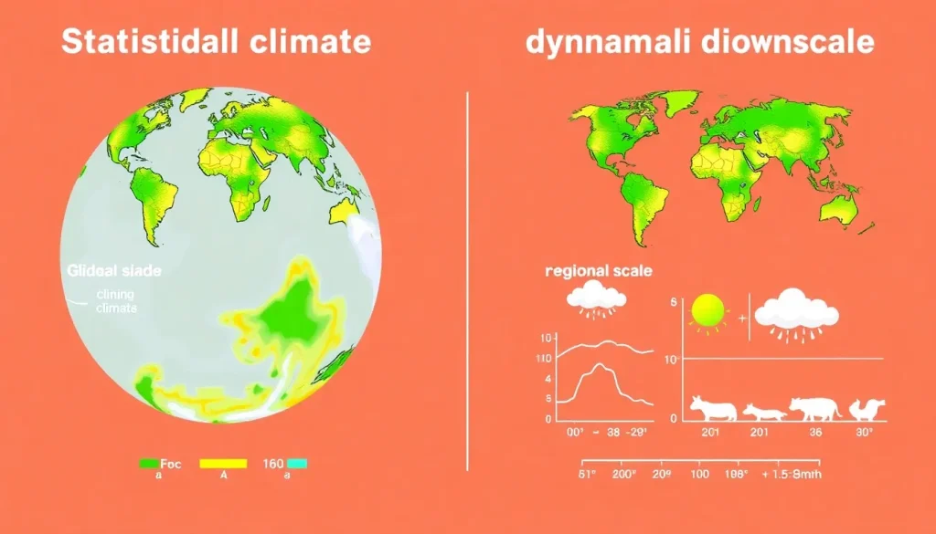
Dynamical downscaling uses regional climate models (RCMs) driven by boundary conditions from global climate models (GCMs) to simulate climate at higher resolution over a limited area. Statistical downscaling establishes empirical relationships between large-scale climate variables (predictors) and local variables (predictands) using historical observations, then applies these relationships to GCM outputs. Hybrid methods combine both approaches. The resolution figures cited are based on the grid spacing of published model outputs.
Why methods evolve
Downscaling methods evolve due to advances in computational power, improved understanding of regional climate processes, and the need for more localized climate information for impact assessments. The push for higher resolution is driven by the demand for actionable data at local scales, while statistical methods improve with larger observational datasets and machine learning techniques.
Regional variation
The availability and resolution of downscaled data vary by region. CORDEX provides coordinated downscaling for 14 domains worldwide, but some regions (e.g., Europe, North America) have more extensive high-resolution simulations than others (e.g., Africa, Central Asia). The table below shows typical resolutions for selected CORDEX domains.
| Region | Typical Dynamical Resolution (km) | Statistical Downscaling Availability |
|---|---|---|
| Europe (EURO-CORDEX) | 12, 2.5 | Widely available |
| North America (NA-CORDEX) | 25, 12 | Widely available |
| Africa (AFR-CORDEX) | 50, 25 | Limited |
| South Asia (WAS-CORDEX) | 50, 25 | Limited |
Meaning and limitations
Downscaling provides higher-resolution climate information essential for local impact studies, but it inherits uncertainties from the driving GCM and adds its own. Dynamical downscaling is computationally expensive and may not fully correct GCM biases. Statistical downscaling assumes stationarity of relationships, which may not hold under climate change. Both methods require careful evaluation and multi-model ensembles to quantify uncertainty.
Next expected update
The next major update will be the release of CORDEX convection-permitting simulations (ongoing) and the IPCC AR7 cycle, expected around 2027–2028. New statistical downscaling datasets are continuously published by research groups.
Downloadable chart or table
The table below provides a summary of key downscaling methods and their typical characteristics. For the latest data, visit the CORDEX website or the IPCC Data Distribution Centre.
| Method | Resolution | Computational Cost | Key Assumptions |
|---|---|---|---|
| Dynamical (RCM) | 1–50 km | High | GCM boundary conditions, model physics |
| Statistical (e.g., bias correction) | Point to 50 km | Low | Stationarity of relationships |
| Hybrid (e.g., statistical-dynamical) | 1–10 km | Medium | Combines both approaches |
FAQ
What is the main difference between statistical and dynamical downscaling?
Dynamical downscaling uses a physics-based regional climate model (RCM) to simulate climate processes at high resolution, while statistical downscaling uses empirical relationships derived from historical data to translate large-scale climate information to local scales. Dynamical methods are computationally expensive but capture physical processes, whereas statistical methods are efficient but assume that past relationships remain valid under future climate change.
Which downscaling method is more accurate?
Neither method is universally more accurate; the choice depends on the application, region, and available resources. Dynamical downscaling can better represent complex terrain and extreme events, but it may inherit biases from the driving GCM. Statistical downscaling can correct biases effectively but may fail if the underlying statistical relationships change. Multi-model ensembles and hybrid approaches are often recommended to reduce uncertainties.
How can I access downscaled climate data?
Downscaled climate data are available through platforms such as the CORDEX data portal (https://cordex.org), the Earth System Grid Federation (ESGF), and national climate services. Many datasets are freely available for research purposes, though some high-resolution simulations may require large storage and computing resources.
References
- IPCC, 2021: Climate Change 2021: The Physical Science Basis. Contribution of Working Group I to the Sixth Assessment Report of the Intergovernmental Panel on Climate Change. Cambridge University Press.
- Gutowski, W. J., et al. (2020). The ongoing need for high-resolution regional climate information: Projected changes in extreme precipitation. Bulletin of the American Meteorological Society, 101(5), E664–E671.
- Kendon, E. J., et al. (2021). Challenges and outlook for convection-permitting climate modelling. Philosophical Transactions of the Royal Society A, 379(2195), 20190547.
- CORDEX project website: https://cordex.org
- Giorgi, F., & Gutowski, W. J. (2015). Regional dynamical downscaling and the CORDEX initiative. Annual Review of Environment and Resources, 40, 467–490.